Skerries Bee Map

The Skerries Bee Map was the result of a collaboration between members of the biodiversity team of Sustainable Skerries and local artist/illustrator Kristina Keegan.
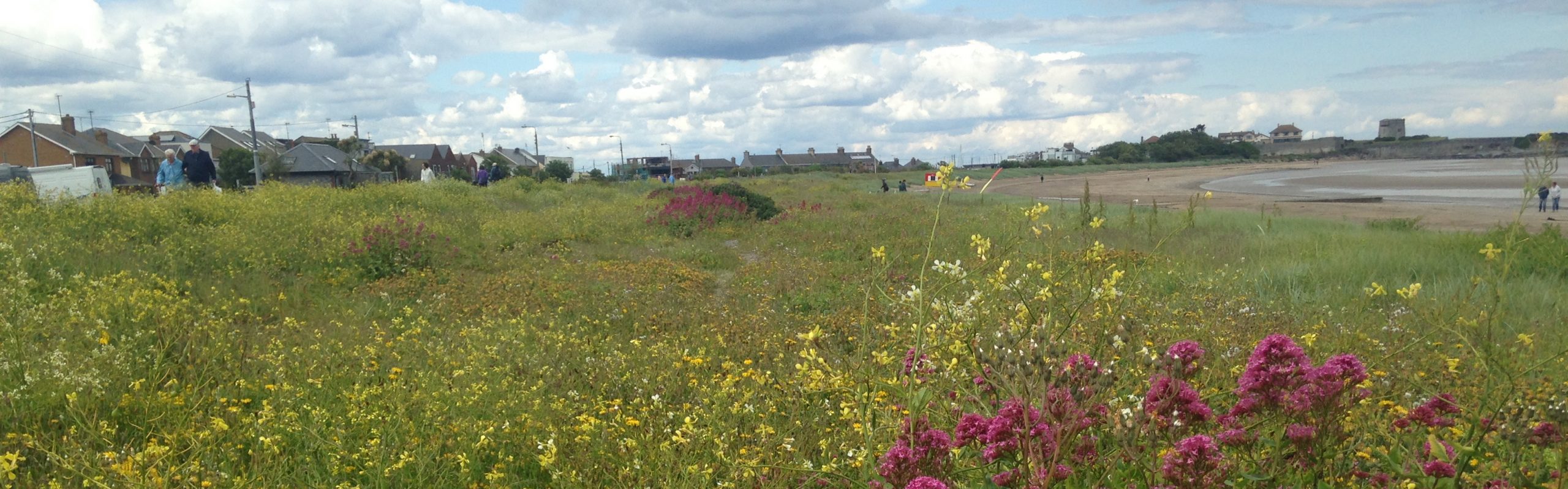
The purpose of the map is to plot the locations (as known to us at this moment in time) of the Large Carder Bee habitats in Skerries, to invite members of the community to build bee corridors to connect these locations and to encourage recognition and conversation around the native Irish wildflowers that the Large Carder Bee and other pollinators feed off.
This map is part of the Large Carder Bee Action Plan. Watch out for more actions!
By studying and illustrating the distinct differences in these species (both flowers and bees) we hope that the Skerries Bee Map will serve as a learning tool in schools and public spaces and spark conversation around sightings of these beautiful plants and insects.

It looks even better in print, and we hope to have copies available at our future events, and we are delighted that it is included in the Skerries News edition of 24 June 2022!
